Storm Chasing in Canada: Tracking Nature’s Fury
Canada, known for its diverse landscapes and vast expanses, is also home to a unique meteorological phenomenon – severe thunderstorms and tornadoes. While storm chasing is more commonly associated with the United States, particularly in the infamous “Tornado Alley,” Canada experiences its fair share of severe weather events, attracting both professional meteorologists and amateur storm chasers.
Meteorology Behind Canadian Storm Chasing The formation of severe thunderstorms and tornadoes in Canada is primarily influenced by the collision of contrasting air masses. During the summer months, warm, moist air from the Gulf of Mexico and the United States Great Plains often clashes with cooler, drier air from the Arctic. This collision creates instability in the atmosphere, leading to the development of powerful supercell thunderstorms.
Additionally, Canada’s unique topography plays a role in storm formation. The prairies, with their flat, open landscapes, allow for uninterrupted wind flow and the creation of strong updrafts necessary for tornado development. The presence of the Rocky Mountains to the west also contributes to the formation of severe weather, as the mountains can help channel and intensify storm systems.
Prime Storm Chasing Locations in Canada
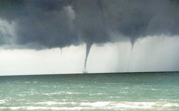
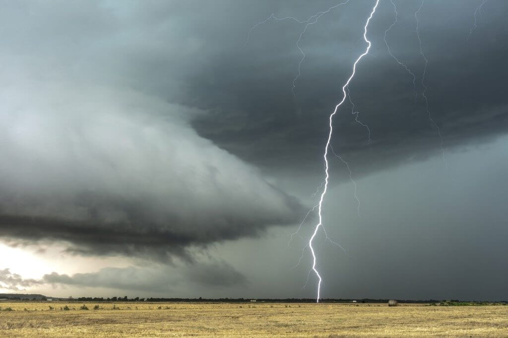
- Southern Ontario: This region, particularly the area extending from Windsor to Toronto, experiences the highest frequency of tornadoes in Canada. The proximity to the Great Lakes and the convergence of air masses make this area a hotspot for severe weather.
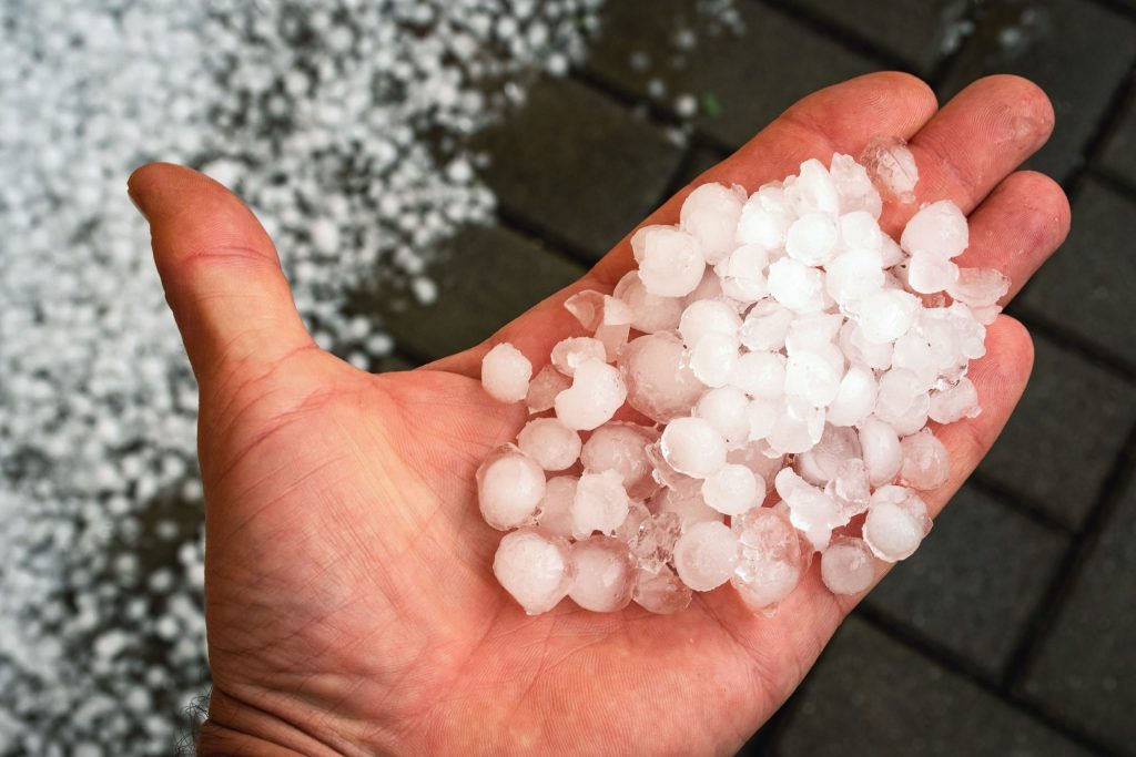
- Alberta: Known as “Hailstorm Alley,” central and southern Alberta often experience severe thunderstorms capable of producing large hail, damaging winds, and occasional tornadoes. Cities like Calgary and Red Deer are prime locations for storm chasers.
- Saskatchewan: The southern portions of Saskatchewan, especially along the border with the United States, are prone to severe thunderstorms and tornadoes. The flat, open prairies provide an ideal environment for storm development.
- Manitoba: Similar to Saskatchewan, southern Manitoba experiences severe weather due to its location and topography. The Red River Valley, in particular, is a corridor for intense storm systems.
Tornado Statistics by Province According to Environment and Climate Change Canada, the average number of reported tornadoes per year in each province is as follows:
- Ontario: 12-18
- Alberta: 10-15
- Saskatchewan: 8-12
- Manitoba: 6-10
- Quebec: 4-8
- New Brunswick: 1-2
- British Columbia: 0-1
- Nova Scotia: 0-1
- Prince Edward Island: 0-1
- Newfoundland and Labrador: 0-1
It is important to note that these numbers are based on reported tornadoes and may not reflect the actual occurrence, as some tornadoes in remote areas may go undetected.
Storm chasing in Canada is a thrilling and scientifically valuable pursuit, but it also comes with inherent risks. Chasers must be well-prepared, equipped with proper safety gear, and knowledgeable about severe weather dynamics. It is crucial to respect the power of nature and prioritize personal safety above all else.
As climate change continues to influence weather patterns worldwide, studying severe weather events in Canada becomes increasingly important.
Top 5 Weather Events in Canada
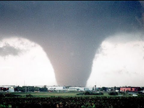
Edmonton Tornado (July 31, 1987)
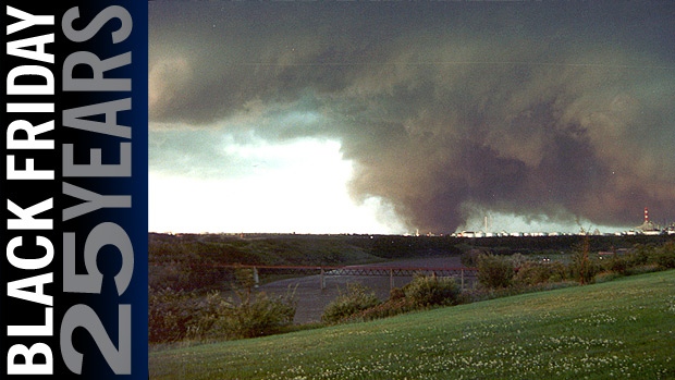
Also known as “Black Friday,” this devastating F4 tornado struck eastern Edmonton, Alberta, causing 27 fatalities, injuring over 300 people, and resulting in an estimated $330 million in damages (adjusted for inflation). It remains the deadliest tornado in Canadian history and one of the most destructive in terms of property damage.
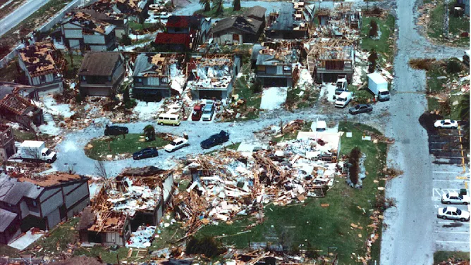
Pine Lake Tornado (July 14, 2000)
An F3 tornado touched down near Pine Lake, a popular camping area in central Alberta, claiming 12 lives and injuring over 100 people. The tornado caused widespread damage to the Green Acres Campground, destroying numerous trailers and vehicles. It is the second-deadliest tornado in Canadian history.
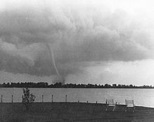
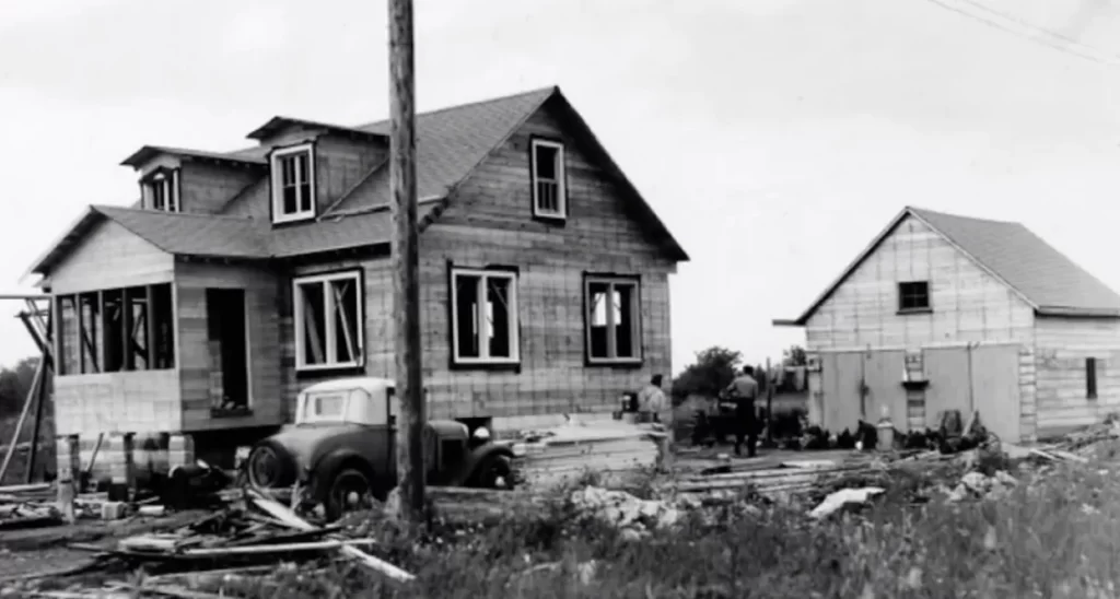
Windsor – Tecumseh, Ontario Tornado (June 17, 1946)
This powerful F4 tornado struck the towns of Windsor and Tecumseh in southwestern Ontario, causing 17 fatalities and over 200 injuries. It remains the third-deadliest tornado in Canadian history and caused significant damage to residential areas and infrastructure.
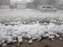

Calgary Hailstorm (June 13, 2020)
A severe thunderstorm produced large hail over Calgary, Alberta, causing an estimated $1.2 billion in insured damages, making it the fourth-costliest natural disaster in Canadian history. The hailstorm damaged numerous homes, vehicles, and buildings across the city.
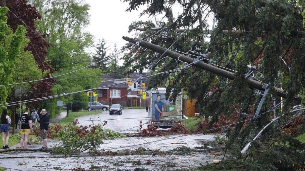
Southern Ontario Derecho (May 21, 2022)
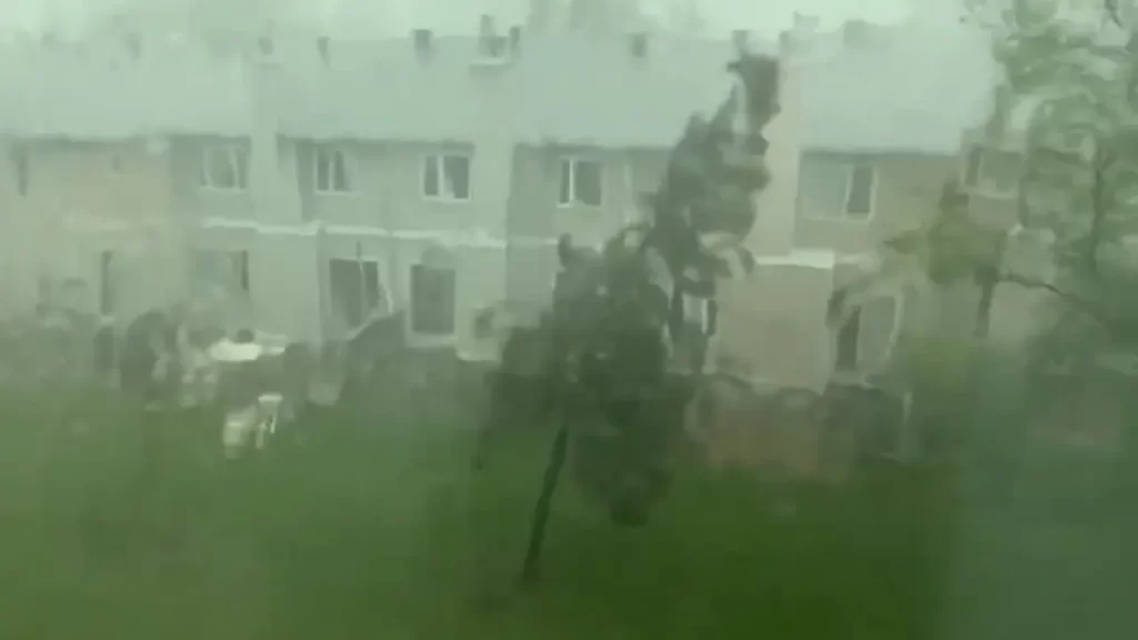
A powerful derecho, a widespread and long-lived windstorm associated with a line of severe thunderstorms, swept across southern Ontario, causing significant damage and power outages. The storm resulted in 10 fatalities and affected major cities such as Toronto, Ottawa, and London. Wind gusts exceeding 120 km/h were recorded, and the event is considered one of the most impactful derechos in Canadian history.
Well-known Storm Chasers in Canada:
Mark Robinson: A meteorologist and storm chaser based in Ontario, Robinson is the founder of The Weather Network’s “Storm Hunters” team. He has been chasing storms across Canada and the United States for over two decades.
Greg Johnson: Known as “Tornado Hunter,” Johnson is a Saskatchewan-based storm chaser and photographer who has been documenting severe weather events for more than 20 years. His work has been featured in numerous publications and documentaries.
Justin Hobson: A storm chaser and photographer based in Alberta, Hobson is known for his stunning images of severe weather events across the Canadian Prairies.
Weather Radar Network and Forecast Models:
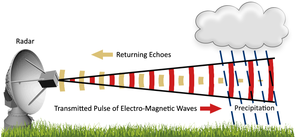
Environment and Climate Change Canada (ECCC) operates the Canadian weather radar network, which consists of 31 Doppler radars across the country. These radars provide real-time data on precipitation intensity, wind velocity, and storm structure, aiding in the detection and tracking of severe weather events.
ECCC also utilizes several forecast models to predict weather patterns and severe weather potential:
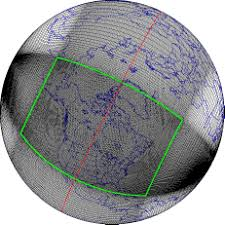
Global Environmental Multiscale (GEM) Model: This is the primary forecast model used by ECCC, providing short-range and medium-range weather forecasts for Canada and the world.
High Resolution Deterministic Prediction System (HRDPS): A high-resolution model that provides detailed short-range forecasts for specific regions in Canada, focusing on severe weather events.
Canadian Precipitation Analysis (CaPA): A system that combines radar, satellite, and surface observations to provide a comprehensive analysis of precipitation across Canada.
Links:
Environment and Climate Change Canada Weather Radar: https://weather.gc.ca/radar/index_e.html
Canadian Centre for Meteorological and Environmental Prediction: https://weather.gc.ca/ensemble/index_e.html
The Weather Network Storm Hunters: https://www.theweathernetwork.com/ca/news/storm-hunters
Greg Johnson Tornado Hunter: https://tornadohunter.com/
Justin Hobson Photography: https://justinhobson.ca/
