Riders on the Storm: The Daredevils Who Chase Hurricanes for Thrills

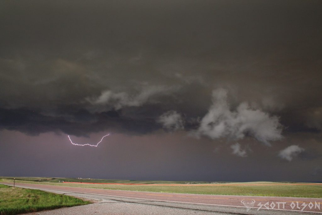
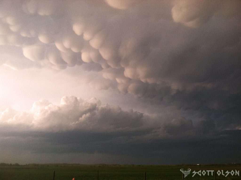
In the heart of hurricane season, as most people board up their windows and evacuate to safer ground, a select group of adventurers head straight into the eye of the storm. These are the hurricane chasers, a rare breed of meteorologists, scientists, and thrill-seekers who risk their lives to study and experience the raw power of nature’s most destructive forces.

One of the most renowned hurricane chasers is Dr. Josh Morgerman, a meteorologist and storm chaser who has been pursuing hurricanes for over two decades. Morgerman, who founded the hurricane research organization iCyclone, has chased more than 50 hurricanes and typhoons across the globe, including some of the most intense storms in recent history, such as Hurricane Dorian in 2019 and Super Typhoon Haiyan in 2013.

“There’s nothing quite like the experience of being in the eye of a hurricane,” Morgerman says. “It’s a moment of eerie calm in the midst of chaos, and it gives you a profound appreciation for the power and beauty of nature.”

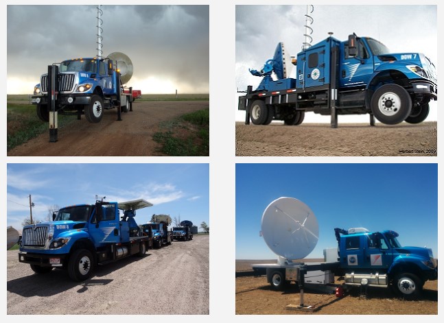
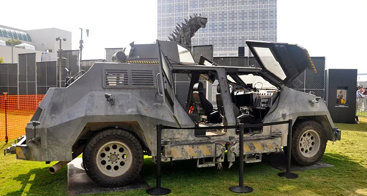
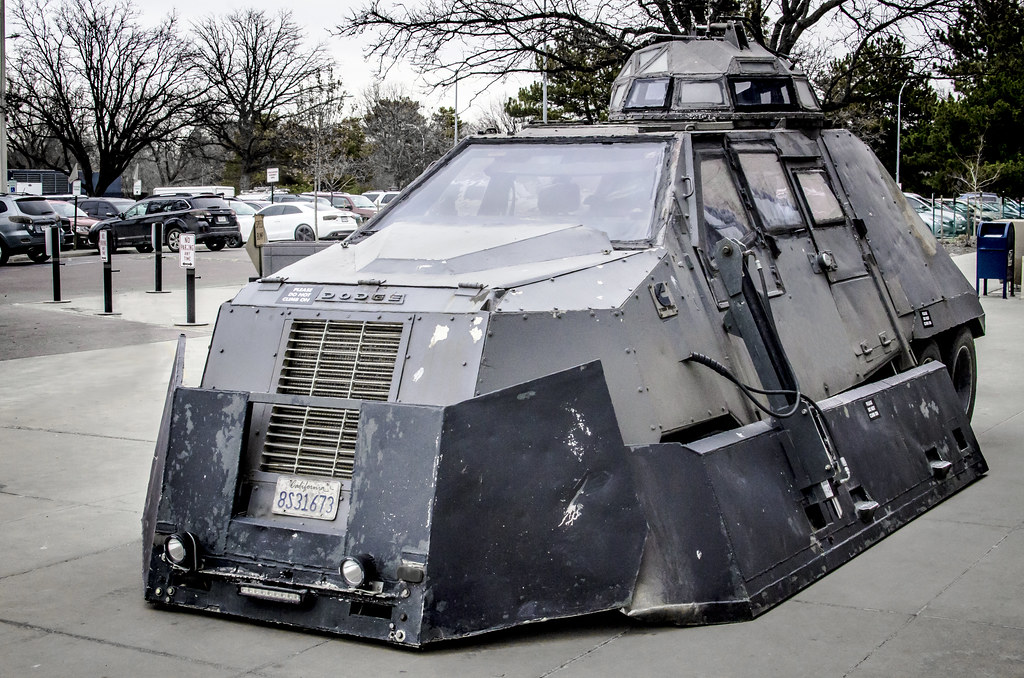
To chase hurricanes, Morgerman and his team rely on a sophisticated array of equipment, including mobile weather stations, anemometers, and satellite phones. They also use specialized vehicles, such as reinforced trucks and SUVs, to navigate through the treacherous conditions of a hurricane’s outer bands.

Another prominent figure in the hurricane chasing community is Mark Sudduth, a former restaurant owner turned storm chaser who founded the website HurricaneTrack.com. Sudduth has been chasing hurricanes since 1999 and has witnessed some of the most devastating storms in recent memory, including Hurricane Katrina in 2005 and Hurricane Michael in 2018.

“Chasing hurricanes is not for the faint of heart,” Sudduth says. “You have to be prepared for anything and everything, from flying debris to storm surges to power outages. But the rewards – the data we collect, the stories we tell, and the lives we potentially save – make it all worth it.”

Sudduth’s hurricane chasing strategy involves deploying a network of remote cameras and weather sensors along the coast, which allows him to gather data and livestream footage of the storm from a safe distance. He also works closely with emergency management officials and local media outlets to provide real-time updates and warnings to communities in the path of the hurricane.

One of the most harrowing hurricane chases in recent memory was the pursuit of Hurricane Michael in October 2018. Michael, a Category 5 storm with maximum sustained winds of 160 mph, made landfall near Mexico Beach, Florida, causing catastrophic damage and claiming the lives of 74 people.

For hurricane chaser Jeff Piotrowski, who has been chasing storms for over 40 years, Hurricane Michael was a once-in-a-lifetime experience. Piotrowski and his team were on the ground in Mexico Beach as the storm made landfall, documenting the destruction with high-definition cameras and live-streaming the footage to millions of viewers around the world.

“The power of that storm was just incredible,” Piotrowski recalls. “We were in the eye wall for over an hour, with winds gusting over 150 mph and debris flying everywhere. It was like being in a war zone.”

Despite the dangers, Piotrowski and his team managed to capture some of the most dramatic footage of Hurricane Michael, including the moment when the storm surge overtook their vehicle and forced them to abandon their equipment and flee to higher ground.

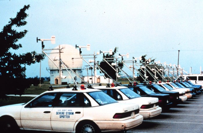
For hurricane chasers, having the right equipment can mean the difference between life and death. To track and forecast the path of a hurricane, chasers rely on a variety of tools, including mobile weather stations, anemometers, barometers, and GPS devices.

One of the most important pieces of equipment for hurricane chasers is the mobile weather station, which allows them to gather real-time data on wind speed, air pressure, temperature, and humidity. These stations are typically mounted on the roof of a vehicle and can withstand winds of up to 200 mph.

Another critical tool for hurricane chasers is the anemometer, which measures wind speed and direction. Handheld anemometers are often used by chasers on the ground, while larger, more sophisticated devices are mounted on vehicles or deployed in strategic locations along the coast.

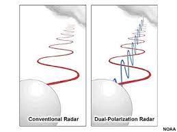
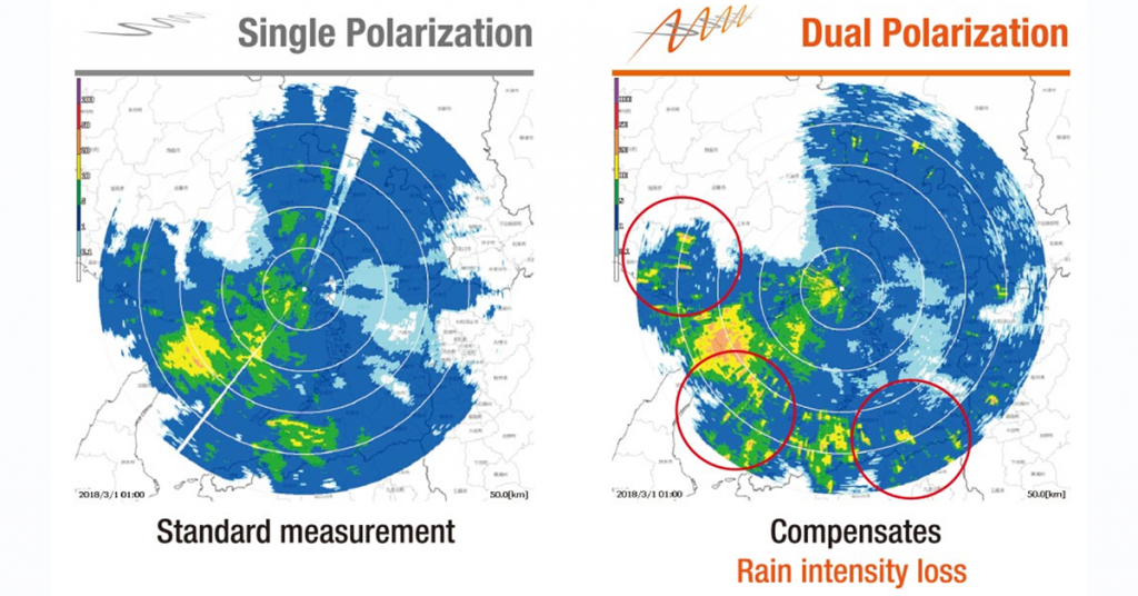
To forecast the path of a hurricane, chasers rely on a combination of computer models, satellite imagery, and radar data. The National Hurricane Center in Miami, Florida, is the primary source of hurricane forecasts and warnings in the United States, and many chasers work closely with the center to share data and coordinate their efforts.

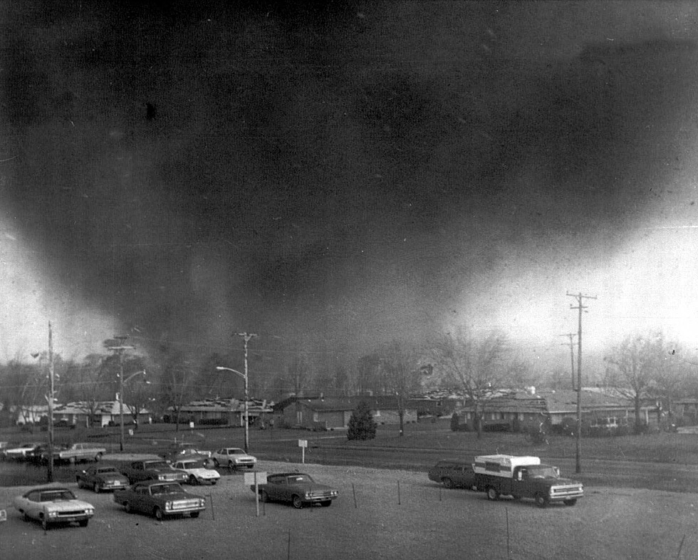
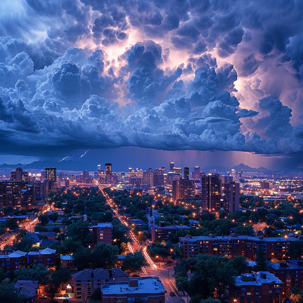
However, even with the most advanced equipment and forecasting tools, chasing hurricanes is an inherently dangerous pursuit. One of the biggest risks is the storm surge, a wall of water that can rise up to 30 feet or more and sweep away everything in its path. Storm surges are responsible for many of the deaths and much of the damage associated with hurricanes, and chasers must be constantly aware of their location and proximity to the coast.

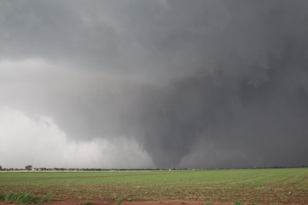
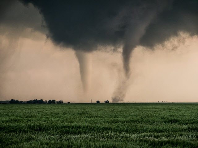
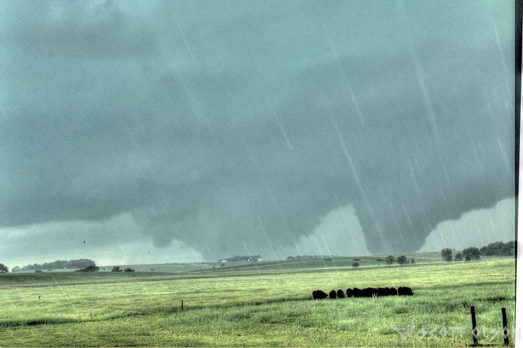
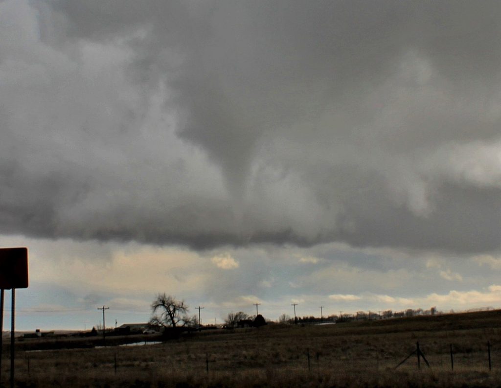
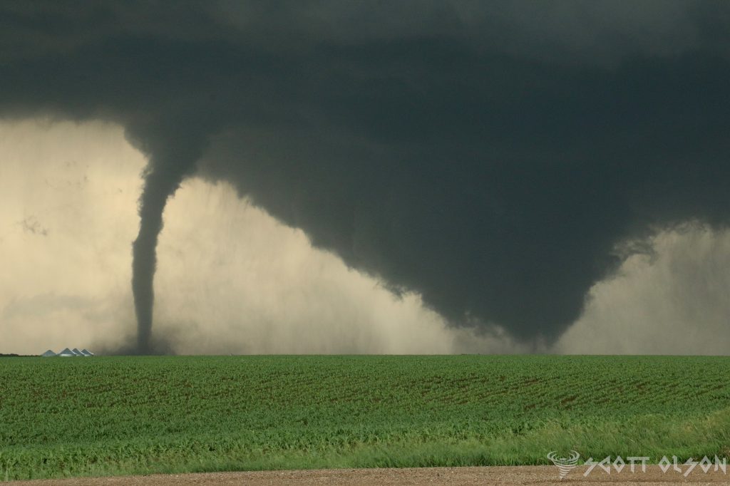
Another hazard of hurricane chasing is the eyewall, the ring of intense thunderstorms that surrounds the calm eye of the hurricane. Within the eyewall, winds can gust up to 200 mph or more, and tornadoes can form suddenly and without warning. Chasers who venture too close to the eyewall risk being hit by flying debris, blown off the road, or even swept away by the storm surge.

In addition to the risks posed by the storm itself, hurricane chasers must also contend with the logistical challenges of operating in a disaster zone. Roads may be flooded or blocked by debris, power lines may be down, and cell phone service may be spotty or nonexistent. Chasers must be self-sufficient and prepared to survive on their own for days or even weeks at a time.

To mitigate these risks, hurricane chasers rely on a combination of experience, skill, and technology. They carefully plan their routes and staging areas in advance, taking into account factors such as elevation, road conditions, and the availability of shelter. They also carry a wide range of survival gear, including food, water, first aid kits, and satellite phones.

Despite the dangers, many hurricane chasers say that the rewards of their work far outweigh the risks. By gathering data and documenting the power of these storms, they help scientists better understand how hurricanes form and behave, which can ultimately lead to better forecasting and warning systems.

“Chasing hurricanes is not just a job or a hobby for me,” says Mark Sudduth of HurricaneTrack.com. “It’s a calling. It’s a way to witness the awesome power of nature and to help people prepare for and survive these incredible storms.”

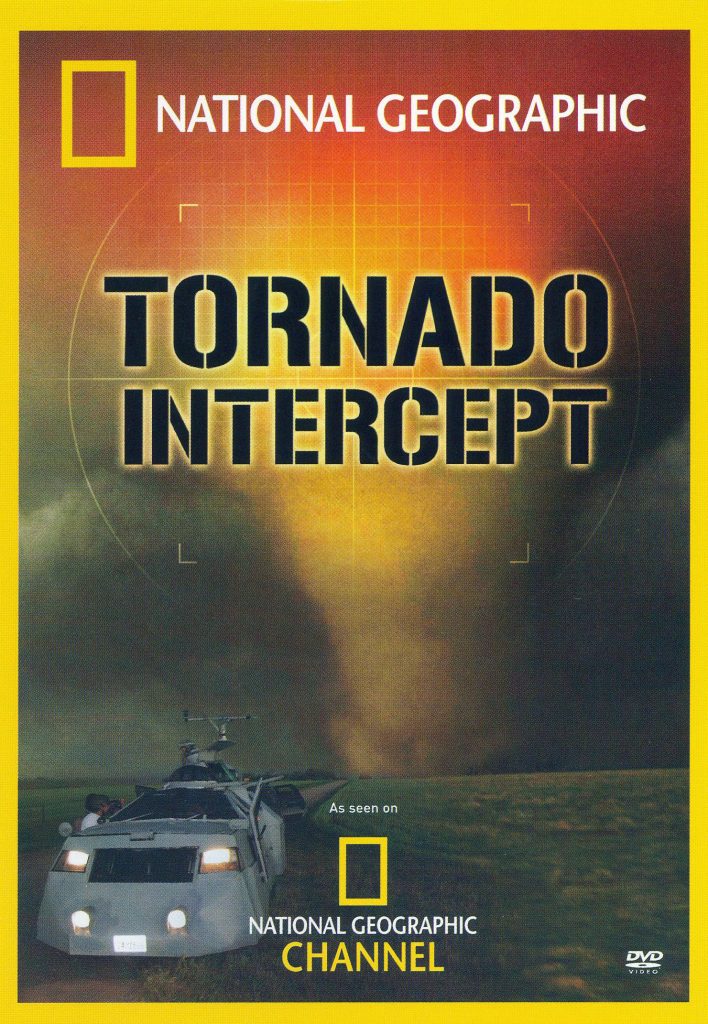
Of course, even the most experienced and well-equipped hurricane chasers know that they are ultimately at the mercy of the storm. In 2008, a team of chasers led by meteorologist Sean Casey narrowly escaped death when their specially designed tornado intercept vehicle was flipped over by the powerful winds of Hurricane Ike in Texas.

“We were tumbling end over end, and I thought for sure we were going to die,” Casey recalls. “But somehow, we landed right side up and were able to drive away. It was a miracle.”

For hurricane chasers, close calls like these are just part of the job. But they also serve as a reminder of the awesome power and unpredictability of these storms, and of the importance of respecting the forces of nature.

Understanding Storm Boundaries: Drylines, Warm Fronts, Cold Fronts, and Outflow Boundaries

Storms are among the most powerful and awe-inspiring natural phenomena on Earth, capable of producing heavy rain, strong winds, large hail, and even tornadoes. But what causes these storms to form, and what factors influence their severity? The answer lies in the various types of atmospheric boundaries that exist in our atmosphere, including drylines, warm fronts, cold fronts, and outflow boundaries.

Drylines are a unique type of boundary that is most commonly found in the Great Plains region of the United States. A dryline separates warm, moist air from hot, dry air and is often characterized by a sharp contrast in temperature and humidity across the boundary. As the sun heats the ground during the day, the hot, dry air on one side of the dryline rises, creating a localized area of low pressure. This low-pressure area then draws in the warm, moist air from the other side of the boundary, setting the stage for severe thunderstorm development.

Dryline storms are notorious for their rapid development and intense nature. As the warm, moist air is forced upward by the rising hot, dry air, it cools and condenses, forming towering cumulus clouds that can quickly evolve into severe thunderstorms. These storms often produce large hail, damaging winds, and even tornadoes, making them a significant threat to life and property in the regions where they occur.

Warm fronts, on the other hand, are a type of boundary that occurs when a mass of warm air advances into a region of cooler air. As the warm air rises over the cooler air, it cools and condenses, forming clouds and precipitation. Warm front storms are generally characterized by widespread cloudiness, steady rain, and occasionally, thunderstorms.

One of the unique features of warm front storms is the gradual nature of their development. Unlike dryline storms, which can form and intensify rapidly, warm front storms tend to develop slowly over a period of several hours or even days. This slow development can lead to prolonged periods of rain and cloudiness, which can have significant impacts on local weather patterns and human activities.

Cold fronts are perhaps the most well-known type of atmospheric boundary, and for a good reason. These boundaries occur when a mass of cold air overtakes a region of warmer air, forcing the warm air to rise rapidly. As the warm air rises, it cools and condenses, forming a line of intense thunderstorms known as a squall line.

Cold front storms are often accompanied by a dramatic change in weather conditions, with temperatures dropping sharply and winds shifting direction as the front passes through. These storms can produce a wide range of severe weather hazards, including damaging winds, large hail, and tornadoes, making them a significant threat to life and property.

Outflow boundaries are a type of boundary that forms when cool, dense air from a previous storm or rain-cooled air rushes out ahead of the storm, creating a mini cold front. As this cool air undercuts the warm, moist air ahead of it, it can trigger the development of new thunderstorms, often in a repeating cycle known as “training.”

Outflow boundary storms can be particularly dangerous because they can form quickly and with little warning, catching even the most prepared individuals off guard. These storms often produce heavy rain, strong winds, and occasionally, severe weather hazards such as large hail and tornadoes.

While atmospheric boundaries are a critical factor in the formation of severe storms, they are not the only factors at play. Moisture, instability, and wind shear are also essential ingredients in the development of severe thunderstorms and tornadoes. When these factors combine with a strong atmospheric boundary, the result can be a significant severe weather outbreak.

Drylines and Tornadoes: Drylines are known to be a significant factor in the formation of severe thunderstorms and tornadoes, particularly in the Great Plains region of the United States. A study by Hoch and Markowski (2005) found that “70% of all tornadoes in the southern Great Plains from 1999 to 2001 occurred within 100 km of a dryline.”

One notable example of a dryline-related tornado outbreak occurred on May 3, 1999, in Oklahoma and Kansas. According to the National Weather Service, this outbreak produced 74 tornadoes, including the devastating F5 tornado that struck Moore, Oklahoma, causing 36 fatalities and over $1 billion in damage.

Warm Fronts and Tornadoes: While warm fronts are less commonly associated with tornado formation than other boundary types, they can still contribute to the development of severe thunderstorms and occasional tornadoes. A study by Gaffin and Parker (2006) found that “approximately 10% of all tornadoes in the United States are associated with warm fronts.”

An example of a warm front-related tornado event occurred on March 2, 2012, in the Ohio Valley region. The National Weather Service reported that an EF4 tornado touched down in Henryville, Indiana, causing significant damage and 11 fatalities. This tornado was associated with a warm front that had been draped across the region, providing the necessary moisture and instability for severe storm development.

Cold Fronts and Tornadoes: Cold fronts are a well-known contributor to severe thunderstorm and tornado formation. A study by Trapp et al. (2005) found that “approximately 60% of all tornadoes in the United States are associated with cold fronts.”

The “Super Outbreak” of April 3-4, 1974, is a prime example of a cold front-related tornado event. During this outbreak, 148 tornadoes touched down across 13 states, causing 330 fatalities and over $600 million in damage (adjusted for inflation). The outbreak was associated with a powerful cold front that swept across the eastern United States, providing the necessary ingredients for widespread severe weather.

Outflow Boundaries and Tornadoes: Outflow boundaries, which are created by the cool, dense air that flows out of thunderstorms, can also contribute to tornado formation. A study by Markowski et al. (1998) found that “nearly 20% of all tornadoes in the central United States are associated with outflow boundaries.”

One example of an outflow boundary-related tornado event occurred on May 20, 2013, in Moore, Oklahoma. On this day, an EF5 tornado touched down, causing 24 fatalities and over $2 billion in damage. The tornado formed along an outflow boundary that had been generated by earlier thunderstorms in the area, highlighting the importance of these boundaries in severe weather formation.

Is it possible to have two tornadoes at the same time?

Tornadoes are one of the most destructive and fascinating weather phenomena on Earth. These rapidly rotating columns of air can cause significant damage and pose a serious threat to life and property. While most people are familiar with the concept of a single tornado, the question of whether two tornadoes can exist simultaneously is a topic of interest for meteorologists and weather enthusiasts alike. In this article, we will explore the possibility of concurrent tornadoes, focusing on the processes of cyclic tornadogenesis and occluding mesocyclones.

Cyclic Tornadogenesis: Cyclic tornadogenesis is a process by which a supercell thunderstorm produces multiple tornadoes over its lifetime. This phenomenon occurs when a supercell’s mesocyclone (a rotating updraft) undergoes a series of cycles, each producing a new tornado. As the first tornado dissipates, the mesocyclone reorganizes and gives birth to a subsequent tornado. This process can repeat several times, resulting in a series of tornadoes forming from the same parent supercell.

Research has shown that cyclic tornadogenesis is more likely to occur in environments with strong wind shear and high instability. A study by Adlerman and Droegemeier (2005) used high-resolution numerical simulations to investigate the mechanisms behind cyclic mesocyclogenesis. They found that the cycling process is driven by the interaction between the rear-flank downdraft (RFD) and the updraft, which leads to the formation of a new mesocyclone and subsequent tornadogenesis.

Occluding Mesocyclones and Simultaneous Tornadoes: An occluding mesocyclone is a mesocyclone that is in the process of dissipating, often due to the ingestion of cooler, more stable air from the rear-flank downdraft. During this occlusion process, it is possible for the original tornado to still be present while a new mesocyclone and tornado are forming. This scenario can lead to the presence of two simultaneous tornadoes.

On June 16, 2014, the town of Pilger, Nebraska, experienced a rare and devastating tornado event. Two tornadoes, both rated as violent EF-4, touched down simultaneously and caused significant damage to the town. This event is a notable example of simultaneous tornadoes occurring as a result of cyclic tornadogenesis.

The Pilger tornado event was well-documented by storm chasers and researchers, providing valuable data for studying the formation and evolution of these concurrent tornadoes. Wicker et al. (2015) analyzed the event using high-resolution radar data and found evidence of cyclic mesocyclogenesis. The study revealed that the two tornadoes formed from separate mesocyclones within the same supercell thunderstorm, with the second tornado developing as the first one was weakening.

The simultaneous occurrence of the Pilger tornadoes highlights the complexity of cyclic tornadogenesis and the potential for multiple tornadoes to form within a single supercell. This event also emphasizes the importance of advanced radar technology and real-time observations in understanding and forecasting these rare and dangerous phenomena.

Multi-Vortex Tornadoes: Multi-vortex tornadoes are another fascinating aspect of tornado dynamics. These tornadoes are characterized by the presence of multiple smaller vortices rotating around a central axis. While multi-vortex tornadoes are not the same as simultaneous tornadoes, they demonstrate the complex nature of tornado structure and the potential for multiple vortices to exist within a single tornado.

Agee et al. (1977) conducted one of the earliest studies on multi-vortex tornadoes, using photographs and films to analyze the structure and evolution of these tornadoes. They found that multi-vortex tornadoes often exhibit a cyclic behavior, with vortices forming, merging, and dissipating over time. This cyclic nature of multi-vortex tornadoes is similar to the cyclic tornadogenesis process observed in supercell thunderstorms.

More recent studies, such as those by Wurman and Kosiba (2013) and Wakimoto et al. (2016), have used high-resolution mobile Doppler radar data to investigate the dynamics of multi-vortex tornadoes. These studies have revealed the complex interactions between the main vortex and the smaller subvortices, as well as the role of surface friction and debris in modulating the structure and intensity of multi-vortex tornadoes.

The presence of multiple vortices can lead to more erratic and unpredictable tornado paths, as well as localized areas of intense damage. Additionally, the cyclic nature of multi-vortex tornadoes can make it challenging to issue timely and accurate warnings, as the tornado’s intensity and structure can change rapidly.

Unraveling the Mystery: Why Severe Storms Have Green, Teal, and Blue Colors

Supercell thunderstorms are among the most awe-inspiring and powerful weather phenomena on Earth. These storms are characterized by their rotating updrafts, known as mesocyclones, which can produce severe weather conditions such as large hail, damaging winds, and even tornadoes. One of the most striking features of supercells is the occasional appearance of a green or teal color in the sky, particularly near the storm’s base. This unique coloration has fascinated both weather enthusiasts and scientists alike, prompting numerous studies to unravel the mystery behind this phenomenon.

The presence of these large water droplets is crucial to the formation of the green or teal color. Water droplets are particularly effective at absorbing red light, which is at the longer wavelength end of the visible spectrum. As sunlight enters the storm and interacts with these water droplets, a significant portion of the red light is absorbed, leaving the remaining light dominated by shorter wavelengths, which correspond to blue and green colors.

However, the absorption of red light by water droplets alone is not sufficient to explain the intense green or teal hue sometimes observed. Another critical factor is the presence of ice crystals in the upper portions of the storm, particularly in the updraft and the rear flank downdraft (RFD). The RFD is another area of descending air, located on the back side of the storm, often associated with strong winds and large hail.

Ice crystals in the upper portions of the storm can scatter the remaining blue light, further enhancing the green appearance. The combination of red light absorption by water droplets in the lower levels and blue light scattering by ice crystals in the upper levels creates the distinctive green or teal color.

The green coloration is most likely to be observed when the sun is at a low angle on the horizon, typically during the late afternoon or early evening. During this time, sunlight has to travel through more of the Earth’s atmosphere, which can further filter out red light and enhance the green appearance. Additionally, the presence of large amounts of hail in the storm can intensify the green color, as hail can also absorb and scatter light in a manner similar to water droplets and ice crystals. Most storm chasers have experienced the largest hail when storms take on green and teal colors.

It is important to note that not all supercells exhibit a green or teal color, and the absence of this coloration does not necessarily indicate a less severe storm. The appearance of the green hue depends on a delicate balance of factors, including the storm’s structure, the concentration and size of hydrometeors, and the angle of the sun.

While the green or teal color in supercells is a fascinating phenomenon, it is important to remember that it is often associated with the most severe and dangerous storms. Supercells that exhibit this coloration are likely to be producing large hail, damaging winds, and possibly even tornadoes. If you find yourself in the vicinity of a supercell with a green or teal hue, it is crucial to seek shelter immediately and follow the advice of local weather authorities.

Mammatus Clouds: Nature’s Breathtaking Spectacle in the Sky

Have you ever gazed up at the sky and witnessed a mesmerizing display of pouches or bubble-like structures hanging from the underside of a cloud? If so, you’ve had the privilege of observing one of nature’s most captivating phenomena: mammatus clouds. These distinctive formations have intrigued scientists, photographers, and cloud enthusiasts alike for centuries, and their appearance never fails to leave observers in awe.

Mammatus clouds, scientifically known as mammatocumulus, are a rare and stunning sight to behold. The term “mammatus” is derived from the Latin word “mamma,” meaning “udder” or “breast,” which aptly describes the appearance of these clouds. They are characterized by their unique pouch-like protrusions that hang down from the base of a cloud, creating a striking visual contrast against the sky.

The formation of mammatus clouds is a complex process that involves a combination of atmospheric conditions. These clouds typically occur in association with large cumulonimbus clouds, which are the towering thunderstorm clouds responsible for heavy rainfall, lightning, and even tornadoes. As the cumulonimbus cloud begins to dissipate, the sinking motion of cold air within the cloud can cause the formation of mammatus clouds.

One of the leading theories behind the formation of mammatus clouds suggests that they are the result of a process called “cloud-base detrainment.” This occurs when cold, dense air from the upper parts of the cumulonimbus cloud sinks and pushes into the warmer, more humid air below. As the cold air descends, it creates a series of lobes or pouches that protrude from the bottom of the cloud, giving rise to the distinctive mammatus appearance.

Another factor that contributes to the formation of mammatus clouds is the presence of strong wind shear. Wind shear refers to the change in wind speed or direction with height in the atmosphere. When there is a significant difference in wind speed or direction between the upper and lower levels of a cumulonimbus cloud, it can cause the cloud to become unstable and promote the development of mammatus structures.

The sight of mammatus clouds is not only visually stunning but also a testament to the incredible forces at work in Earth’s atmosphere. These clouds often appear during severe weather events, such as thunderstorms or even tornadoes, adding an element of drama and intensity to the sky. The pouches can range in size from small, grape-like structures to large, udder-like protrusions that can span several kilometers in length.

Mammatus clouds are not only a treat for the eyes but also a subject of fascination for scientists and researchers. While the exact mechanisms behind their formation are still being studied, these clouds serve as a reminder of the complex and dynamic nature of our atmosphere. They showcase the delicate interplay between temperature, humidity, and wind, resulting in a breathtaking display that captures the imagination of all who witness it.

For photographers and cloud enthusiasts, mammatus clouds present a unique opportunity to capture nature’s artistry at its finest. The contrast between the dark, ominous base of the cumulonimbus cloud and the soft, billowing pouches of the mammatus creates a striking visual composition that is both eerie and beautiful. Many photographers spend hours chasing storms and waiting patiently for the perfect moment to capture these elusive clouds in all their glory.

Beyond their aesthetic appeal, mammatus clouds also serve as an important indicator of atmospheric conditions. Their presence often signifies the potential for severe weather, such as strong winds, hail, or even tornadoes. Meteorologists and weather forecasters pay close attention to the development of mammatus clouds, as they can provide valuable insights into the stability of the atmosphere and the likelihood of extreme weather events.

Mammatus clouds are a true marvel of nature, captivating the hearts and minds of people around the world. Their unique appearance, born from the complex interplay of atmospheric conditions, serves as a reminder of the awe-inspiring beauty and power of our planet’s weather systems. Whether you are a scientist, photographer, or simply someone who appreciates the wonders of the natural world, the sight of mammatus clouds is an unforgettable experience that will leave you marveling at the incredible forces at work in the sky above us.

So the next time you find yourself gazing up at a stormy sky, keep an eye out for these mesmerizing pouches of clouds. Take a moment to appreciate the intricate dance of nature’s elements that come together to create such a spectacular display.

May 8, 2017 Insane Denver Hailstorm

On May 8, 2017, a severe hailstorm struck the Denver metropolitan area, causing widespread damage and disrupting daily life for thousands of residents. The storm, which lasted for several hours, produced hailstones ranging in size from small pellets to golf ball-sized chunks of ice, leaving a trail of destruction in its wake. This article will provide a comprehensive overview of the event, including the storm’s timeline, the meteorological conditions that led to its formation, and the extent of the damage it caused.

The hailstorm began to develop in the early afternoon hours of May 8, as a potent upper-level disturbance moved across the Rocky Mountains and into the Denver area. This disturbance, combined with strong daytime heating and abundant low-level moisture, created an unstable atmosphere that was primed for severe thunderstorm development. By 2:30 PM MDT, the first severe thunderstorm warnings were issued for the Denver metro area, as radar indicated the presence of large hail and strong winds within the developing storms.

As the afternoon progressed, the thunderstorms continued to intensify and expand in coverage. By 3:00 PM MDT, large hail was being reported across much of the Denver area, with some locations experiencing hailstones up to 2.5 inches in diameter. The largest hail was reported in the western and southern suburbs of Denver, including Lakewood, Littleton, and Highlands Ranch. In these areas, the hail was large enough to cause significant damage to vehicles, roofs, and landscaping.

The hailstorm reached its peak intensity between 3:30 PM and 4:30 PM MDT, as multiple severe thunderstorms merged into a large, slow-moving complex over the Denver metro area. During this time, the National Weather Service issued a rare “Flash Flood Emergency” for the city of Denver and its surrounding suburbs, as the combination of heavy rain and melting hail created dangerous flooding conditions on many roads and highways. The flooding was particularly severe in the southern and eastern portions of the metro area, where some locations received up to 3 inches of rain in less than an hour.

As the storm system slowly moved off to the east, the hail and heavy rain began to subside, but not before leaving a significant amount of damage in its wake. According to insurance industry estimates, the May 8 hailstorm caused more than $2.3 billion in damage, making it the costliest hailstorm in Colorado history. The majority of the damage was to vehicles, with more than 150,000 auto insurance claims filed in the wake of the storm. Many homes and businesses also suffered damage to roofs, siding, and windows, with some buildings experiencing complete roof failures due to the weight of the accumulated hail.

In the days following the storm, cleanup and repair efforts began in earnest across the Denver area. Insurance companies set up mobile claims centers to process the large volume of auto and property damage claims, while roofing and construction companies worked around the clock to repair damaged buildings. The City of Denver also launched a major cleanup effort to remove debris from streets and public spaces, with crews working 12-hour shifts to clear the affected areas.

From a meteorological perspective, the May 8 hailstorm was a classic example of a severe thunderstorm event in the High Plains region of the United States. The combination of strong upper-level winds, abundant low-level moisture, and intense daytime heating created an environment that was highly conducive to the development of large hail and damaging winds. The slow-moving nature of the storm system also allowed for a prolonged period of hail accumulation, which contributed to the extensive damage that occurred.

One of the unique aspects of the May 8 storm was the size and density of the hailstones that fell. According to the National Weather Service, the largest hailstone reported during the storm had a diameter of 2.75 inches, which is roughly the size of a baseball. However, many of the hailstones that fell were much smaller in size but incredibly dense, with some reports describing the hail as feeling like “small rocks” when they hit the ground. This high density of the hailstones likely contributed to the extensive damage that occurred to vehicles and roofs, as the impact of the hail was more severe than what would typically be expected from hailstones of a similar size.

The Best Tornado Movies & Series

Storm chasing and tornado-themed movies and TV series have captivated audiences for decades, offering a thrilling glimpse into the world of extreme weather and the brave individuals who pursue it. These productions often blend scientific accuracy with dramatic storytelling, creating compelling narratives that keep viewers on the edge of their seats. In this article, we’ll explore some of the best storm chasing and tornado movies and TV series that have left a lasting impact on the genre.

1.”Twister” (1996) – Directed by Jan de Bont and starring Helen Hunt and Bill Paxton, “Twister” is arguably the most iconic storm chasing movie of all time. The film follows a group of storm chasers as they pursue a series of powerful tornadoes across Oklahoma, all while navigating personal relationships and the challenges of their dangerous profession. “Twister” features groundbreaking special effects for its time, and its depiction of storm chasing has inspired countless aspiring meteorologists and storm chasers.

    2. “Into the Storm” (2014) – This found-footage style movie follows a group of storm chasers and a high school documentary crew as they encounter a series of devastating tornadoes in the town of Silverton, Oklahoma. “Into the Storm” showcases impressive visual effects and intense action sequences, immersing viewers in the heart of the storm. While the film takes some creative liberties with its portrayal of tornadoes, it still manages to capture the awe-inspiring power and destructive potential of these natural phenomena.

    3. “Storm Chasers” (2007-2012) – This Discovery Channel documentary series follows several teams of storm chasers as they pursue tornadoes across the United States. “Storm Chasers” offers a realistic and educational look at the science behind severe weather, as well as the challenges and risks faced by those who study it. The series features renowned storm chasers such as Reed Timmer, Tim Samaras, and Sean Casey, and their cutting-edge research vehicles, including the TIV (Tornado Intercept Vehicle) and the SRV (Dominator).

    4. “Tornado Alley” (2011) – Directed by Sean Casey, “Tornado Alley” is a documentary film that chronicles the adventures of storm chasers as they attempt to capture footage of tornadoes using the TIV. The film features stunning footage of tornadoes and severe weather, as well as insights into the lives and motivations of storm chasers. “Tornado Alley” also explores the science behind tornadoes and the importance of research in improving our understanding and prediction of these powerful storms.

    5. “Night of the Twisters” (1996) – Based on the novel by Ivy Ruckman, “Night of the Twisters” is a made-for-TV movie that tells the story of a family’s struggle to survive a devastating tornado outbreak in Nebraska. “Night of the Twisters” also explores the psychological impact of severe weather events on individuals and communities.

    6. “Tornado!” (1996) – Another made-for-TV movie, “Tornado!” follows a storm chaser and a meteorologist as they attempt to warn a small Texas town of an impending tornado. The film features impressive special effects for its time and offers a suspenseful look at the challenges of predicting and responding to severe weather events.

    7. “Storm Riders” (2015) – This short-lived TV series follows a group of storm chasers as they pursue tornadoes across the United States. “Storm Riders” offers a behind-the-scenes look at the lives of storm chasers, including the challenges they face both in the field and in their personal lives. The series features stunning footage of tornadoes and severe weather, as well as insights into the science and technology used to study these phenomena.

    8. “Tornado Chasers” (2012) – This National Geographic documentary follows a team of researchers and storm chasers led by meteorologist Reed Timmer as they attempt to collect data from inside a tornado using their custom-built armored vehicle, the Dominator 2. The documentary offers a fascinating look at the cutting-edge technology and innovative strategies used by storm chasers to study these powerful storms up close.

    9. “Tornado Intercept” (2005) – Produced by the Discovery Channel, “Tornado Intercept” is a thrilling documentary that follows a team of storm chasers as they pursue tornadoes across the Great Plains. The film features stunning footage of tornadoes and severe weather, as well as insights into the science behind these phenomena and the challenges faced by those who study them.

    10. “The Tornado Chasers” (2013) – This BBC documentary series follows a group of storm chasers and meteorologists as they attempt to unravel the mysteries of tornadoes and improve our ability to predict and respond to these devastating storms. “The Tornado Chasers” offers a global perspective on storm chasing.

    Classics:

    1.”The Wizard of Oz” (1939) – This iconic film features one of the most memorable tornado scenes in cinema history. The movie follows Dorothy Gale as she is transported to the magical land of Oz by a powerful tornado. The tornado scene, with its impressive special effects for the time, has become a classic moment in film history and has inspired countless references and parodies in popular culture.

      2. “Cyclone” (1978) – This made-for-TV movie follows a group of people in a small Midwestern town as they struggle to survive a devastating tornado. “Cyclone” was one of the earliest films to focus specifically on tornadoes and their impact on communities. The movie features impressive special effects for its time and offers a suspenseful look at the challenges of predicting and responding to severe weather events.

      Building the Ultimate Storm Chasing Vehicle: From Basic Upgrades to Extreme Modifications

      The thrill of witnessing nature’s raw power draws countless adventurers into the world of storm chasing. However, venturing into the heart of extreme weather requires more than just courage; it demands a reliable and well-equipped vehicle capable of navigating challenging terrain and keeping you safe. So, whether you’re a seasoned storm chaser or a passionate beginner, let’s explore how to transform your ordinary car into the ultimate storm chasing beast.

      Laying the Foundation:

      • Choosing the Right Vehicle: Opt for a sturdy and reliable 4×4 with high ground clearance. Trucks or SUVs with robust frames are ideal for handling rough roads and potential debris.
      • Essential Upgrades: Invest in all-terrain tires, a reinforced suspension system, and additional undercarriage protection to tackle challenging landscapes. Consider a winch for potential recovery situations.

      Staying Connected & Informed:

      • Communication is Key: Install a ham radio for long-range communication with other chasers and emergency services, especially in areas with limited cell service. A cell phone signal booster antenna can also be a valuable addition.
      • Real-Time Weather Updates: Mount a laptop with dedicated weather software for tracking storms and analyzing data. Ensure a stable internet connection through mobile hotspots or satellite internet options.
      • Navigation & Mapping: Utilize GPS navigation systems with offline maps and weather overlays. Consider ruggedized tablets or laptops for durability.

      Capturing the Storm:

      • Dashcams: Install front and rear dashcams to document your chase and capture any unexpected events. Look for models with high resolution and good low-light performance.
      • External Cameras: Mount weatherproof action cameras like GoPros on the exterior of your vehicle for capturing stunning footage from various angles. Explore 360-degree cameras for immersive perspectives.
      • Stabilization Matters: Invest in camera stabilization systems, such as gimbals, to ensure smooth and professional-looking footage even on bumpy roads.

      Safety & Protection:

      • Hail Protection: Equip your windshield and windows with hail shields or protective film to prevent damage from hailstorms. Consider temporary window coverings for additional protection.
      • Emergency Supplies: Pack a comprehensive emergency kit including first-aid supplies, tools, fire extinguishers, extra food and water, and blankets.

      Taking it to the Extreme:

      • Inspired by the TIV & Dominator: If you’re seeking the ultimate protection, explore armoring your vehicle with reinforced steel plating, similar to the Tornado Intercept Vehicle (TIV) and Dominator. This provides enhanced safety from flying debris and extreme winds.
      • Hydraulic Anchoring System: Take inspiration from the TIV and install a hydraulic anchoring system that lowers your vehicle’s center of gravity, reducing the risk of being lifted by a tornado.
      • Weather Instruments: Equip your vehicle with advanced weather instruments like anemometers, barometers, and lightning detectors for real-time data collection.

      Building your ultimate storm chasing vehicle is a journey of continuous improvement, adapting to new technologies and challenges. As you chase storms responsibly and document nature’s fury, remember to prioritize safety and respect the power of the elements.

      Advancing Severe Weather Detection: The Rise of Dual Polarization Radar in the US

      Weather radar has always been a cornerstone of meteorological observation and forecasting. Yet, traditional radar systems, while effective, were limited in their ability to decipher the complexities within storms, often leaving meteorologists with an incomplete picture. The advent of dual polarization radar technology marked a paradigm shift, ushering in an era of enhanced precision and understanding in severe weather detection and warnings.

      Understanding the Dual Pol Advantage:

      Traditional weather radars transmit and receive horizontally polarized waves, meaning the waves vibrate parallel to the ground. This provides information about the location and intensity of precipitation but lacks the ability to discern the size, shape, and variety of particles within a storm. Dual polarization technology builds upon this foundation by introducing a second dimension – vertical polarization. By transmitting and receiving both horizontally and vertically polarized waves, dual pol radar paints a more comprehensive picture of the storm environment.

      Transforming Tornado Detection:

      One of the most significant benefits of dual pol technology lies in its ability to enhance tornado detection and warnings. Traditional radar could identify areas of rotation within a storm, suggestive of a possible tornado. However, confirming the presence of a tornado often relied on visual sightings or the detection of debris lofted into the air, both of which could be unreliable or delayed.

      Dual pol radar brought a game-changing advantage: the ability to detect debris fields associated with tornadoes. When a tornado is on the ground, it lifts a variety of objects – from tree limbs and building materials to vehicles and even larger structures. These objects scatter radar waves differently than raindrops or hailstones, creating a distinct signature that dual pol radar can identify. This capability allows meteorologists to confirm the presence of a tornado with greater confidence and issue more timely and accurate warnings, potentially saving lives.

      Sharper Images, Clearer Insights:

      Beyond debris detection, dual pol technology enhances the overall resolution and clarity of radar data. By analyzing the way horizontally and vertically polarized waves interact with precipitation particles, meteorologists can estimate the size and shape of raindrops, hailstones, and snowflakes. This information provides valuable insights into the intensity of precipitation, the potential for flooding, and the type of winter weather expected.

      A Nationwide Upgrade: The Dual Pol Rollout:

      Recognizing the transformative potential of dual polarization technology, the National Weather Service (NWS) embarked on an ambitious endeavor to upgrade its entire network of radars across the United States. The rollout, initiated in 2010 and completed in 2013, involved retrofitting existing radars with dual pol capabilities, ensuring comprehensive coverage for the nation.

      This nationwide upgrade has yielded substantial improvements in severe weather detection and warnings. Studies have shown a significant increase in lead times for tornado warnings and a reduction in false alarms, underscoring the life-saving potential of this technology.

      Beyond Tornadoes: A Multifaceted Tool:

      While the impact of dual pol radar on tornado warnings has been profound, its benefits extend far beyond this realm. The technology has proven invaluable for:

      • Improved Rainfall Estimates: By providing more accurate measurements of rainfall amounts, dual pol data enhances flash flood warnings and supports better water resource management.
      • Winter Weather Monitoring: The ability to differentiate between various types of frozen precipitation, such as snow, sleet, and freezing rain, leads to more precise winter storm forecasts and improved road condition monitoring.
      • Aviation Safety: Dual pol radar aids in identifying hazardous weather phenomena for aviation, including icing conditions and turbulence, contributing to safer air travel.